Wreath Fundraiser
Kennebunk Free Library is now accepting orders from individuals and businesses for wreaths which will be delivered to the library for pick up on Saturday, November 22. Wreaths can also be shipped to friends and family around the country for an additional fee. Made at Wreaths of Maine in Waldoboro, these beautifully handmade, double-sided 23″ Balsam wreaths, centerpieces and sprays will adorn your front door and make excellent gifts.
There are multiple options to choose from ranging from $35-$47 as well as a 33” wreath suitable for larger windows and doors for $67. Every wreath is hand made by a skilled wreath-maker and decorated. All proceeds benefit the Library. Orders are accepted through November 11 at 8:00 p.m.
Order at our online store (kennebunkfreelibrary.square.site) or pick up a form in the library.

Own a Reproduction
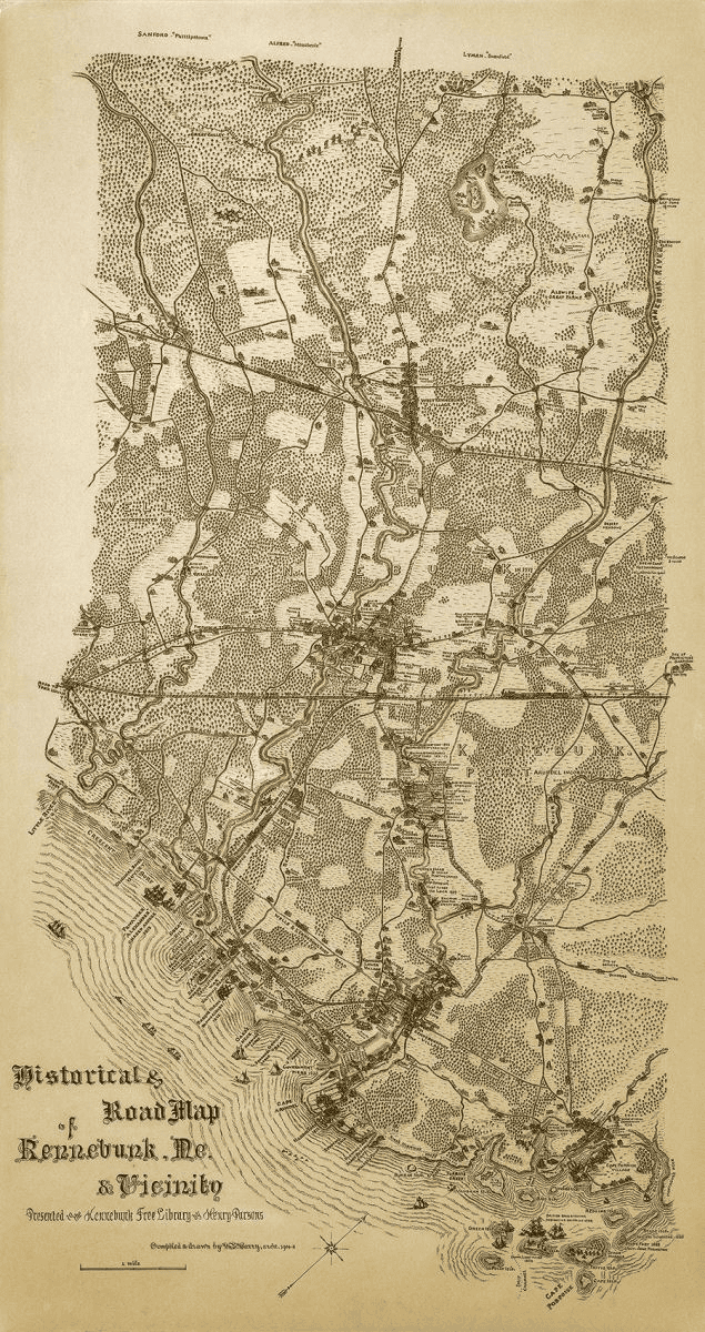
William E. Barry Historical & Road Map of Kennebunk, ME and Vicinity
The original map was presented to KFL by Henry Parsons and was compiled and drawn by William E. Barry, Arch. 1905-8. To learn more about the architect, visit the Biographical History of the Architects of Maine. (Choose Barry, William A. under View List of the Architects.)
The full size measures 27″ x 51″ and the reduced size, 22″ x 41.5″. It can be purchased unframed or with an Artiplaq “Float” mount (ready to hang) with choice of black or white edge.
You may visit KFL to see the original and purchase any copies we have on hand. Or you can complete this form and bring it to the library or email it to kfl@kennebunklibrary.org.
Image Includes:
Example of the William E. Barry Historical & Road Map of Kennebunk, ME and Vicinity.